• Aerial Overview
    • Industry
    • Agriculture & Farming
    • Shipping & Transportation
    • Architecture & Interiors
    • Construction
    • Environmental
    • Military & Aviation
    • Landscape
    • Nashville In Our Time
    • Aerial Abstracts
    • Railyards
    • Solar
    • Quarries
    • Fields
    • Smoke
    • Great Smoky Mountains
    • Horses
  • About
  • Contact
Menu

Rick Smith Photography

  • Galleries
    • Aerial Overview
    • Industry
    • Agriculture & Farming
    • Shipping & Transportation
    • Architecture & Interiors
    • Construction
    • Environmental
    • Military & Aviation
    • Landscape
  • Personal Projects
    • Nashville In Our Time
    • Aerial Abstracts
    • Railyards
    • Solar
    • Quarries
    • Fields
    • Smoke
    • Great Smoky Mountains
    • Horses
  • About
  • Contact

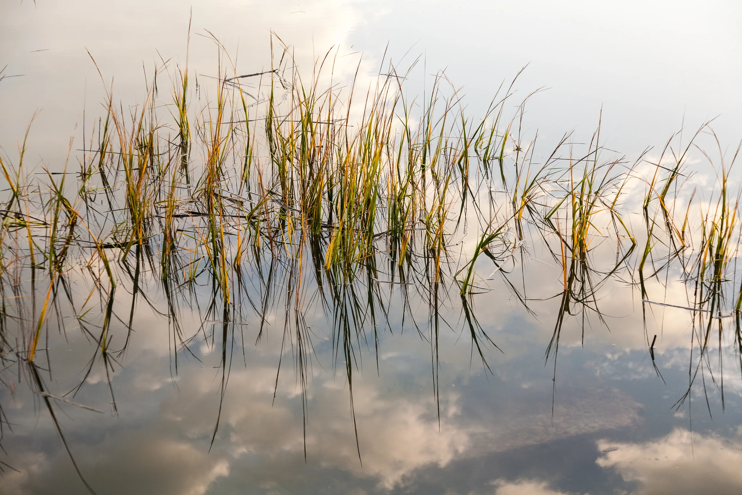
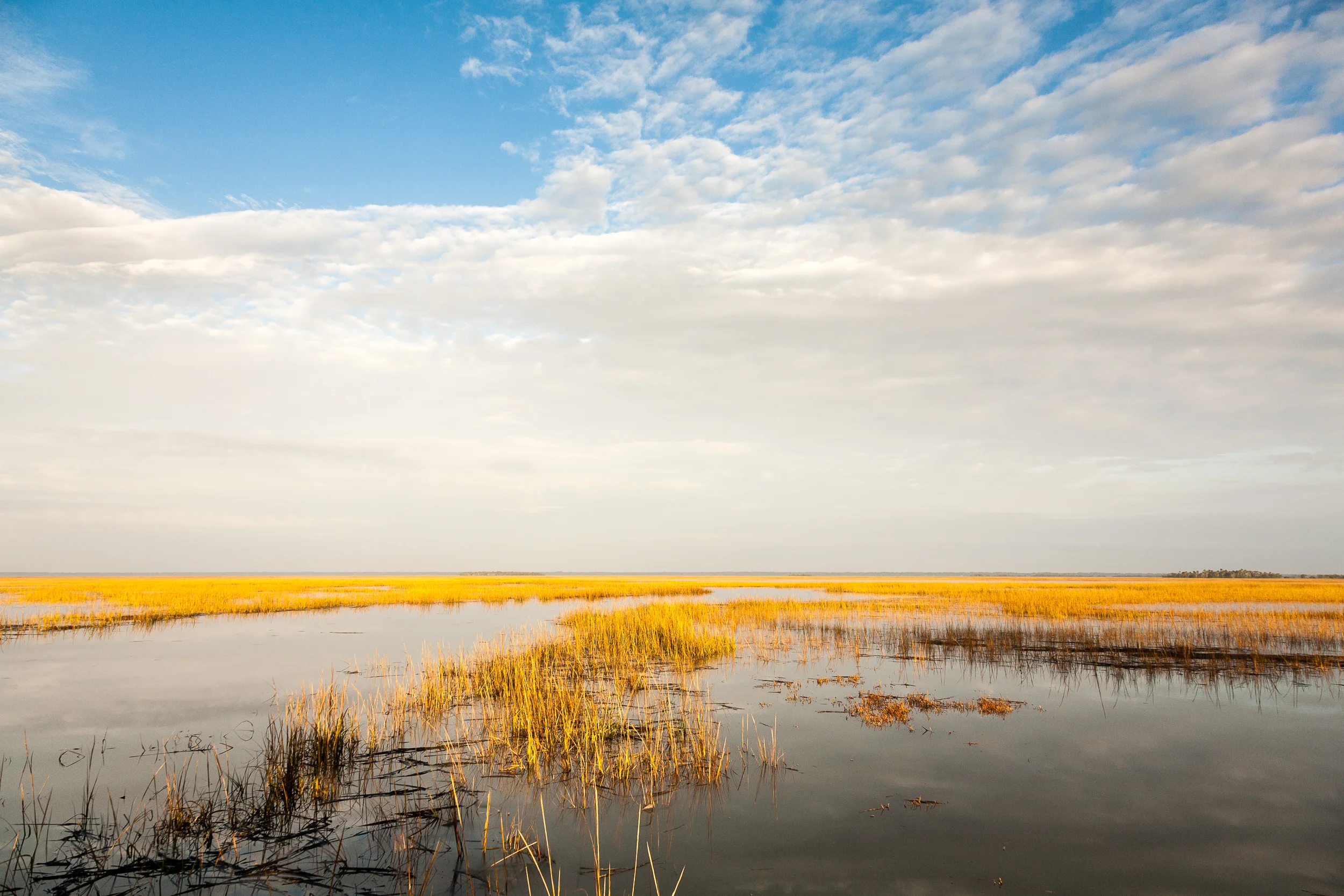
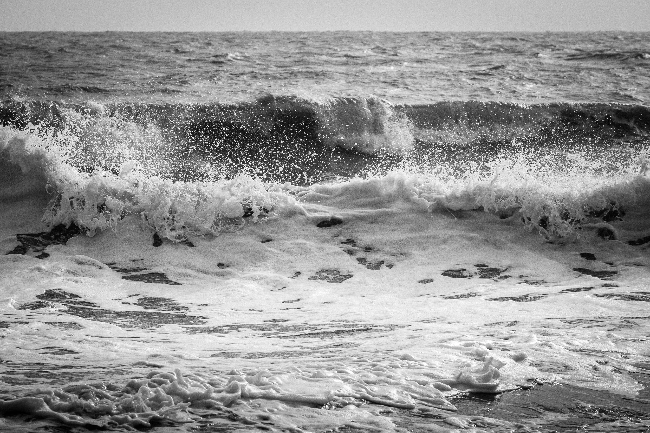
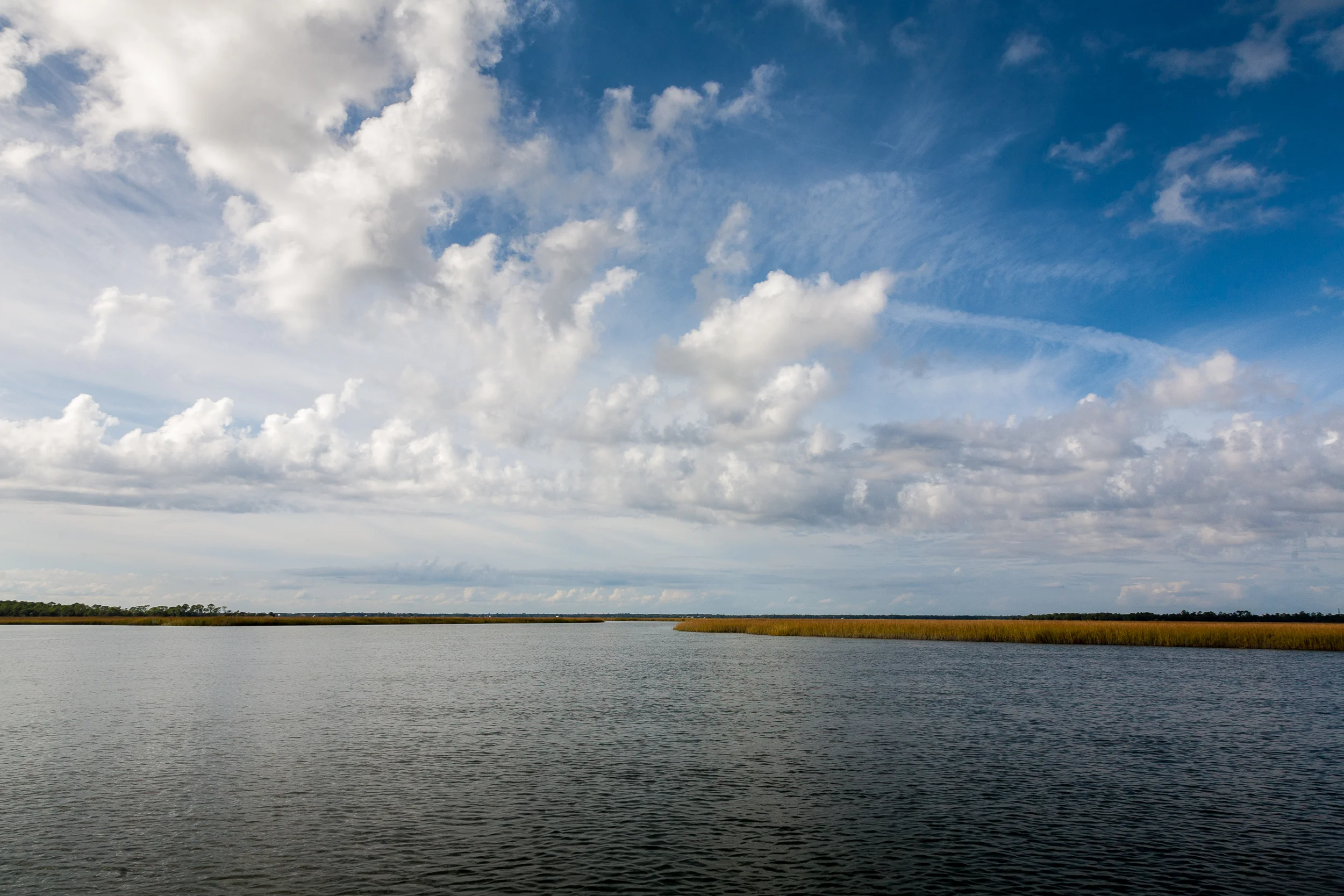
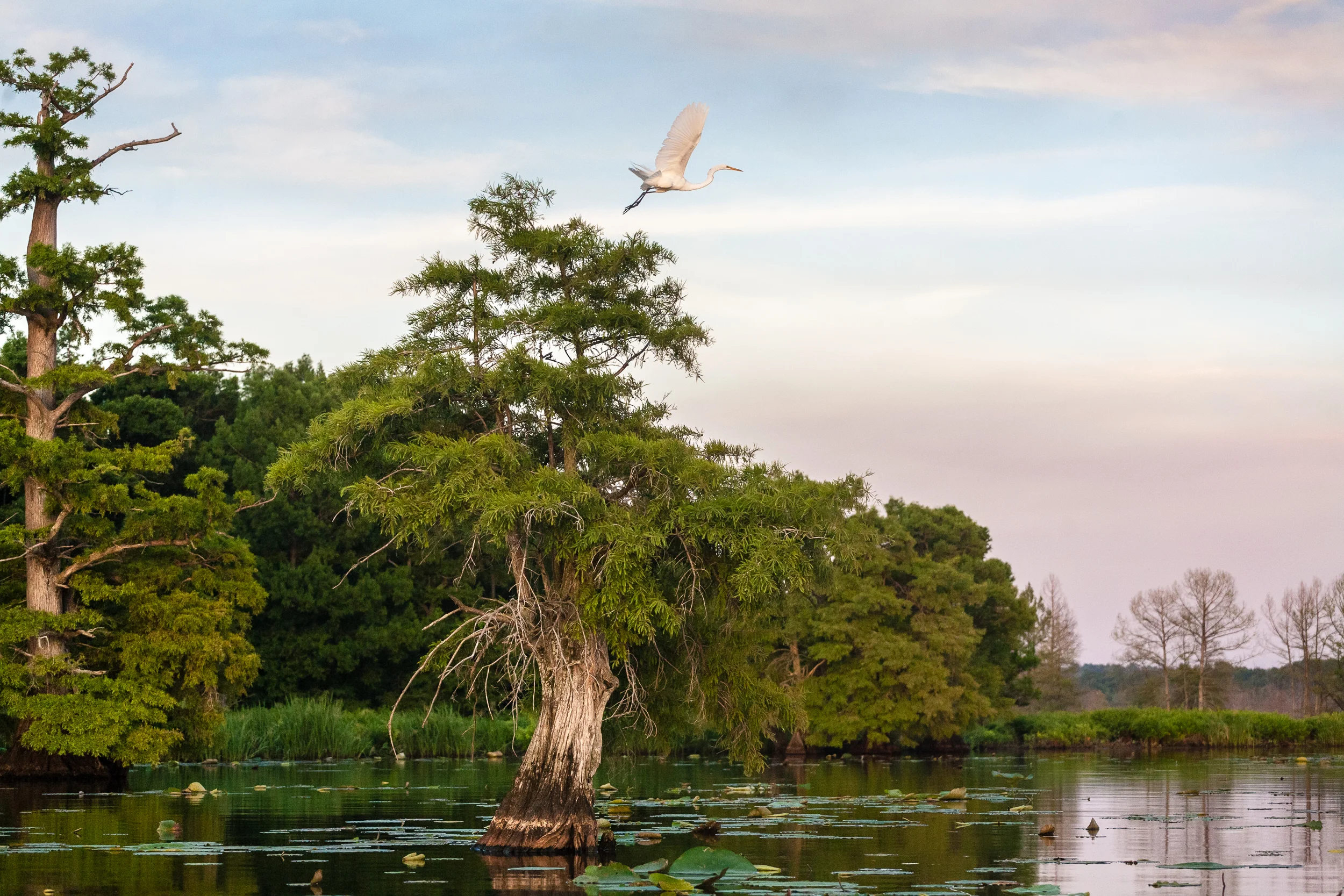
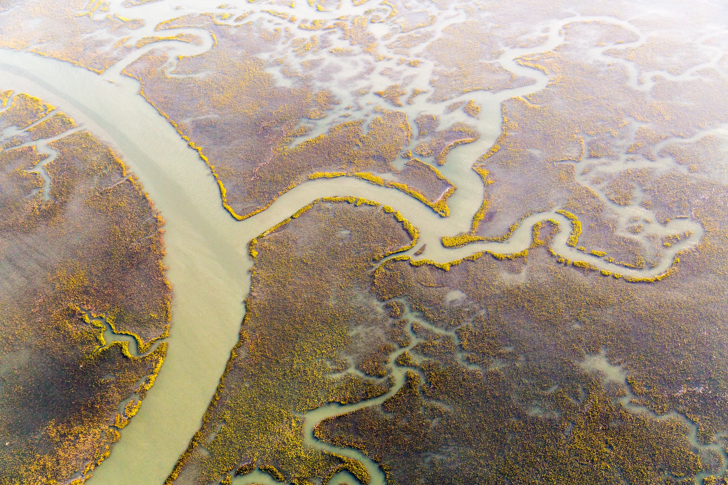
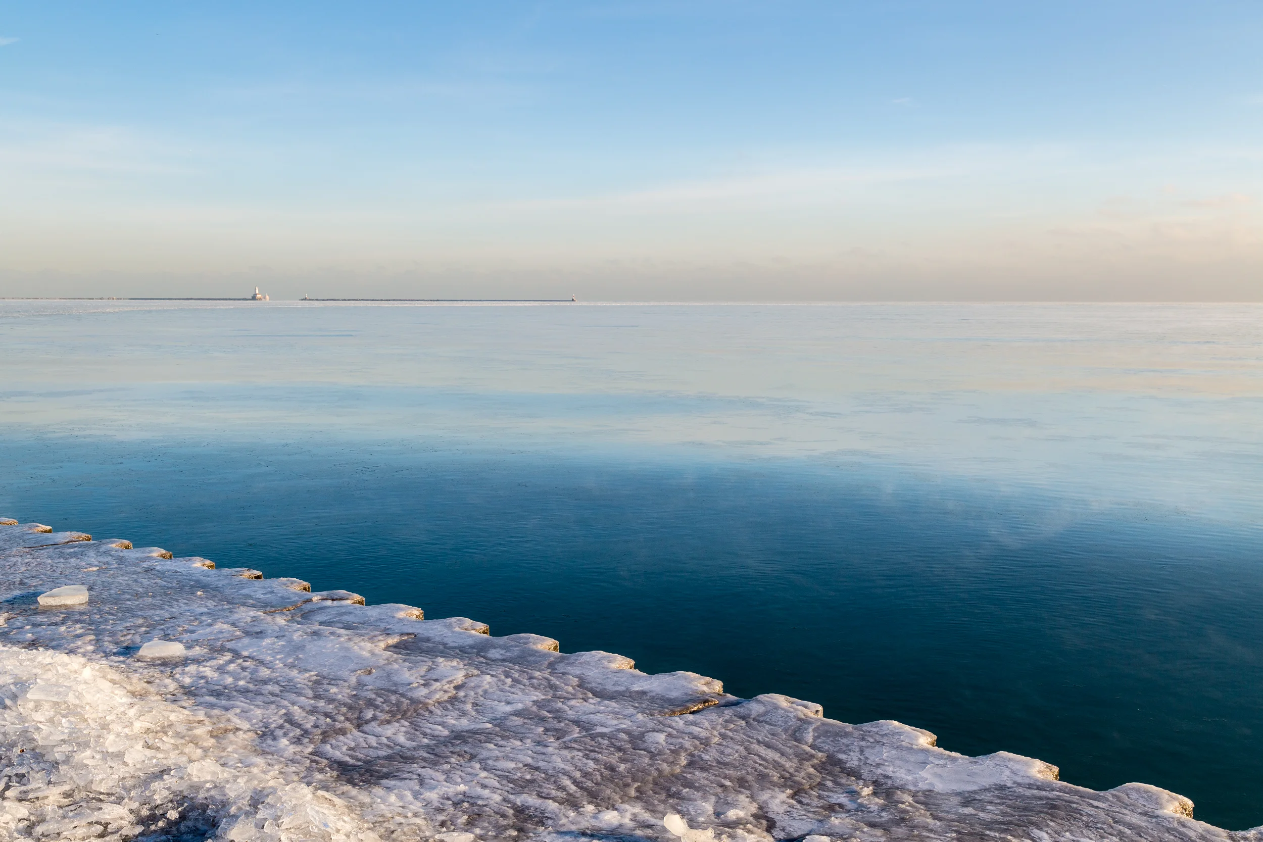
UN STAMPS/ENVIRONMENT: WATER


View fullsize TNRiver_Busselltown052019_378.JPG
View fullsize TNRiver_Busselltown052019_381.JPG
View fullsize TNRiver_LadysFinger052019_211.JPG
View fullsize TNRiver_LadysFinger052019_222.JPG
View fullsize TNRiver_LadysFinger052019_329.JPG
View fullsize TNRiver_LadysFinger052019_357.JPG
View fullsize Winter ice at the shore of Lake Michigan, Chicago.
View fullsize Estuary abstract, South Carolina Lowcountry.
View fullsize Low overcast with fog over J. Percy Priest Lake, Nashville, Tennessee.
View fullsize Tennessee River west of Chattanooga.
View fullsize A thin strip of beach separates the Atlantic Ocean from tidal wetlands along the South Carolina coast.
View fullsize A long exposure during late light along the Delaware coast.
View fullsize Confluence of the Ohio and Tennessee Rivers , Paducah, Kentucky.
View fullsize Wetland grasses, South Carolina Lowcountry.
View fullsize Vulnerable properties along the ocean road, Pawley's Island, South Carolina.
View fullsize Navigating the South Carolina Lowcountry estuaries.
View fullsize Looking south along the coast of southern North Carolina.
View fullsize Tennessee River Gorge west of Chattanooga, Tennessee.
View fullsize South Carolina Lowcountry tidal wetlands.
View fullsize J. Percy Priest Lake, Nashville, Tennessee.
View fullsize Stones River leading into J. Percy Priest Lake, Smyrna, Tennessee.
View fullsize Coastal beaches continually being damaged and reconstructed, Folly Beach, South Carolina.
View fullsize Edisto Island beach, South Carolina.
View fullsize Ocoee Lake, southeast Tennessee.
View fullsize South Carolina Lowcountry tidal wetlands.
View fullsize Edisto Island, South Carolina.
View fullsize Morning fog over the Outer Banks, North Carolina.
View fullsize Radnor Lake, Nashville, Tennessee.
View fullsize Boneyard beach, Edisto Island, South Carolina.
View fullsize Morning fog over the Outer Banks, North Carolina.
View fullsize Vertical over North Carolina coast.
View fullsize Tennessee River Gorge west of Chattanooga, Tennessee.
View fullsize RSmith_UNStamp_Water-246.jpg
View fullsize South Carolina Lowcountry tidal wetlands.
View fullsize RSmith_UNStamp_Water-203.jpg
View fullsize RSmith_UNStamp_Water-235.jpg
View fullsize RSmith_UNStamp_Water-181.jpg
View fullsize RSmith_UNStamp_Water-183.jpg
View fullsize RSmith_UNStamp_Water-185.jpg
View fullsize Everglades, Florida.
View fullsize Morning fog over the Outer Banks, North Carolina.
View fullsize Ocoee Dam, east Tennessee.
View fullsize J. Percy Priest Lake, Nashville, Tennessee.
View fullsize Big Cypress National Preserve, Florida.
View fullsize Ocoee Lake, east Tennessee.
View fullsize Folly Beach, South Carolina.
View fullsize RSmith_UNStamp_Water-215.jpg
View fullsize RSmith_UNStamp_Water-200.jpg
View fullsize South Carolina Lowcountry tidal wetlands.
View fullsize Morning light over the Atlantic off the North Carolina coast.
View fullsize Tidal Flats, Folly Island, South Carolina.
View fullsize Reelfoot Lake, northwest Tennessee.
View fullsize Folly Beach, South Carolina.
View fullsize Reelfoot Lake, northwest Tennessee.
View fullsize Cumberland River west of Nashville, Tennessee.
View fullsize Barrier islands along the southern North Carolina coast.
View fullsize RSmith_UNStamp_Water-229.jpg
View fullsize Low water level in Douglas Lake, east Tennessee.
View fullsize Estuary abstract, South Carolina Lowcountry.
View fullsize Douglas Lake, east Tennessee.
View fullsize Folly Beach, South Carolina.
View fullsize RSmith_UNStamp_Water-231.jpg
View fullsize Sunrise, Folly Beach, South Carolina.
View fullsize Reelfoot Lake, northwest Tennessee.
View fullsize Sunrise, Folly Beach, South Carolina.
View fullsize First morning light over the Carolina coast.
View fullsize J. Percy Priest Lake, Nashville, Tennessee.
View fullsize Sunset, Naples, Florida.
View fullsize Sunrise, Folly Beach, South Carolina.
View fullsize South Carolina Lowcountry tidal wetlands.
View fullsize Sunrise, Folly Beach, South Carolina.
View fullsize Sunset, Naples, Florida.
View fullsize Sunrise, Folly Beach, South Carolina.
View fullsize South Carolina Lowcountry tidal wetlands.
View fullsize Heavy beach erosion, Hunting Island, South Carolina.
View fullsize Morning light over Nickajack Lake, southeast Tennessee.
View fullsize Beach erosion, Hunting Island, South Carolina.
View fullsize Wetlands near the Mississippi River, Memphis, Tennessee.
View fullsize Afternoon light over Kentucky Lake.
View fullsize South Carolina Lowcountry tidal wetlands.
View fullsize RSmith_UNStamp_Water-0342.jpg
View fullsize RSmith_UNStamp_Water-0376.jpg
View fullsize RSmith_UNStamp_Water-0494.jpg
View fullsize RSmith_UNStamp_Water-0531.jpg
View fullsize RSmith_UNStamp_Water-0569.jpg

© Rick Smith Photography   615.678.2311   ricksmithphotography@icloud.com